

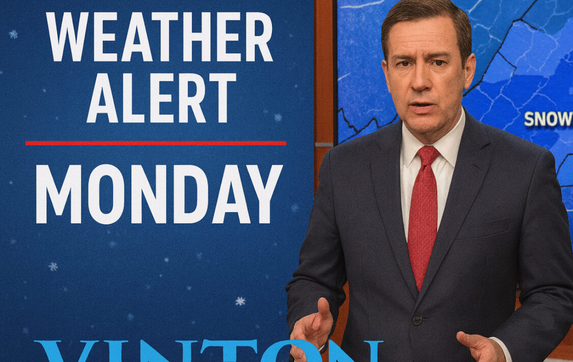
ROANOKE, Va. — A Weather Authority Alert Day has been issued for Monday as another round of winter weather targets the Roanoke Valley, including Vinton, Salem, Bedford County, and surrounding areas.
Forecasters say this system is not expected to be as intense as Friday’s snowfall, but it could still create hazardous conditions — especially for drivers. The primary concerns include a mix of rain, snow, and icy precipitation, followed by the potential for black ice early Tuesday morning as temperatures dip.
What to Expect Monday
The day is expected to start off relatively mild, with rain developing during the morning hours. As colder air moves in, rain is forecast to gradually transition into a wintry mix, eventually changing over to steady snowfall by late morning into early afternoon.
Snow is expected to continue through the afternoon and into the early evening hours. Falling temperatures during the day will help support the switch from rain to snow, increasing the likelihood of slick roadways.
Travel Impacts Likely
Officials caution that travel conditions could deteriorate quickly, particularly during the midday and afternoon commute on Monday. Even after snowfall tapers off around sunset, lingering wintry precipitation overnight could refreeze on untreated roads.
Snow Totals
- Mountains and higher elevations: 1–3 inches
- Lower elevations (including much of the Roanoke Valley): Up to 1 inch or less
While snow totals may appear modest, ice buildup and refreezing could create dangerous driving conditions into Tuesday morning.
Looking Ahead
Drivers are urged to slow down, allow extra travel time, and stay informed as conditions change. Vinton Voice will continue monitoring the forecast and share any updates or weather-related closures as they become available.